UtilityView is a digital mapping system designed specifically for gas, electric, water, cable, or telephone companies which runs on iOS.
UtilityView provides a variety of convenient and customizable forms to collect important information while doing work in the field.
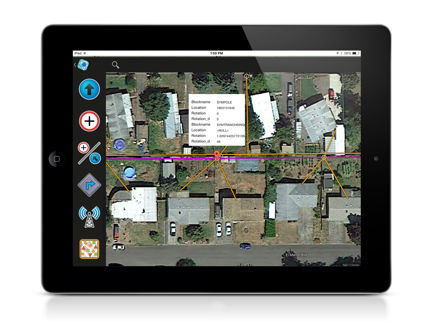
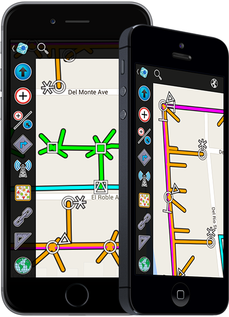
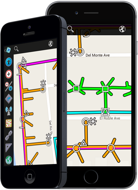
UtilityView displays your local utility assets and infrastructure on a convenient map view with the most up-to-date information attainable.
UtilityView provides many tools, such as dispatch integration, routing, utility map display, built-in forms, and automatic vehicle location, all in one easy-to-use app.
UtilityView integrates with any dispatch system, using push notifications to display your computer aided dispatch information in just seconds.
A finger touch on UtilityView's computer aided dispatch screen instantly maps and routes you to the destination location and displays message details.
UtilityView's Automatic Vehicle Location (AVL) feature displays the location of all your departments vehicles in real-time.
UtilityView's powerful search tools will return the location and navigation information whether you search for an address, intersection, landmark, school, hospital, or even Starbucks.
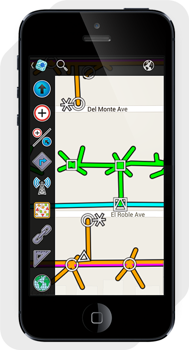
UtilityView displays your local utility assets on the map. All the data is customizable and provided by you, to ensure the most accurate data available.
UtilityView uses the GPS connected or built in to your device to display your current location in real-time and display routing to your destination.
UtilityView provides multiple built-in forms that allow you to collect important information while out in the field and upload automatically to a database.
UtilityView's inspection tool allows you to tap on any of your utility assets on the map to display important information about that particular asset.
UtilityView enables utility workers to operate more efficiently by providing all the tools you need to work quickly and without mistakes in one easy-to-use application.
UtilityView decreases your operating expenses by enabling utility teams to respond faster, work more efficiently, and reduce mistakes.
UtilityView enables you to see the real-time field location of all your teams and send dispatches with detailed information and automatic routing.
UtilityView provides greater visibility of field asset locations and features with inspection tools that display detailed information about each asset.
Yes. UtilityView displays your local data including poles, transformers, street lights, fuses, power lines, and more. We can include any kind of custom utility infrastructure on your map.
UtilityView is only available for iOS on iPhone and iPad at this time. Please let us know if you would interested in UtilityView on a different operating system.
UtilityView works best with a broadband connection. When connected, UtilityView receives updates from your dispatch in seconds routing you to your destination. Quickly search for a location by address, lat long, or even business name using smart auto-completion based on your location. However, should it lose broadband connectivity, base maps, utility infrastructure, and received dispatches are stored locally so they can be accessed even when disconnected.
Yes. UtilityView uses an e-mail based system to send out dispatches. These dispatches appear within UtilityView and will also notify you if you're not currently using the app. The dispatch messages are geo-coded so you can see the location on the map and easily get routing to it.